San Pablo Bay Commuter City
Listings in Hercules, CA
Welcome to Hercules, a bayside Contra Costa city with an explosives-manufacturing past, I-80 connectivity, and a hillside-and-shoreline setting minutes from the Carquinez Bridge.
Hercules is a city in western Contra Costa County, California, on the southeastern shore of San Pablo Bay in the eastern San Francisco Bay Area. Its origins are unusual: the city began not as a farming or port settlement but as an explosives factory. In 1879 the California Powder Works purchased a portion of Rancho El Pinole to build a plant making black powder and, later, dynamite and TNT, and the Hercules Powder Company that grew from it gave the community its name. The company town incorporated as Hercules in 1900, making it one of the Bay Area's few cities founded directly on industrial manufacturing. That industrial past has long since given way to a different role. Today Hercules is a residential commuter city of about 26,000, bisected by Interstate 80 and situated roughly 12 miles north of Berkeley, 18 miles north of Oakland, and 22 miles northeast of San Francisco, with the Carquinez Bridge and the route to Vallejo and Napa just four miles to the northeast. Refugio Creek runs through the center of the city and empties into the bay, dividing the hillside neighborhoods from the shoreline and giving the town its topographic structure. Hercules is served by the West Contra Costa Unified School District, with Hanna Ranch Elementary and Hercules Middle/High School within the city. Its transit center links residents to regional bus service and the Capitol Corridor rail line, making the city a practical base for commuters bound for the inner Bay Area or toward Sacramento and the north. Hercules suits people seeking a bayside, family-oriented East Bay suburb — a distinctive small-city history, hillside and shoreline neighborhoods, and strong freeway and transit access to the wider Bay Area and beyond.
Get more information about Hercules
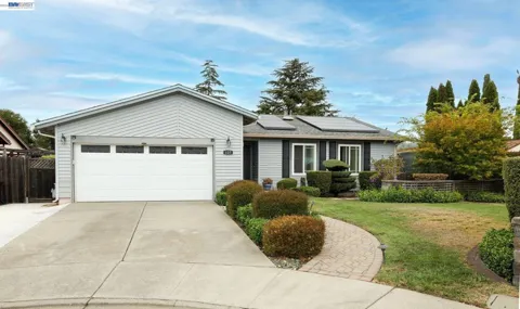
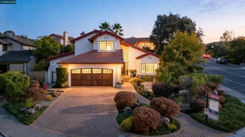
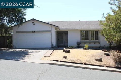
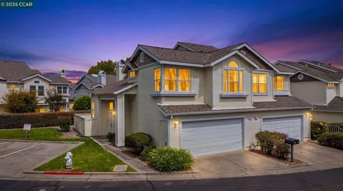
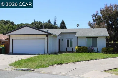
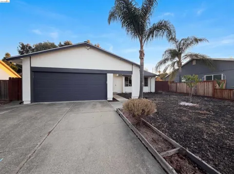
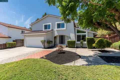
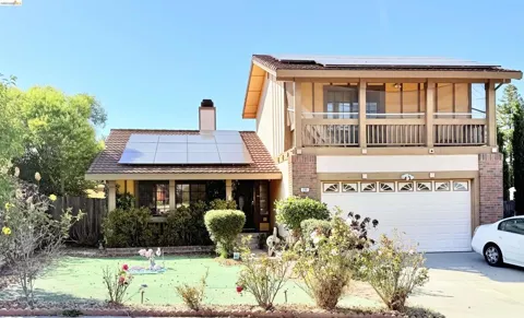
Houses in Hercules, CA
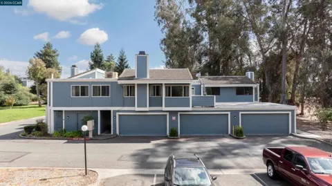
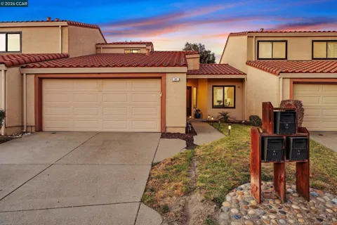
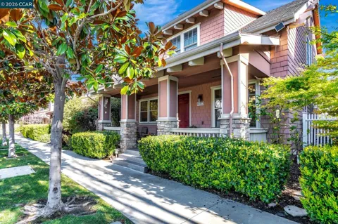
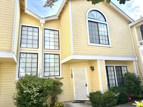
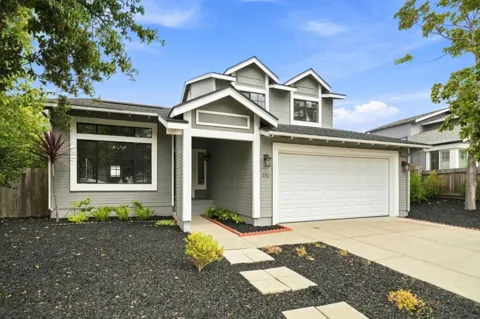
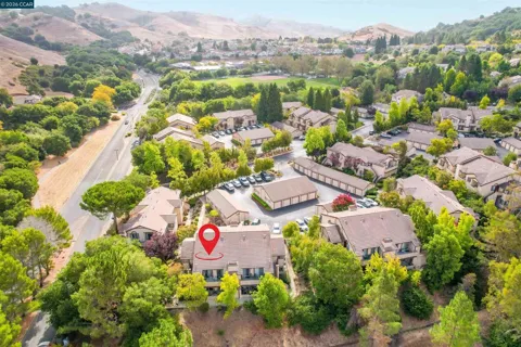
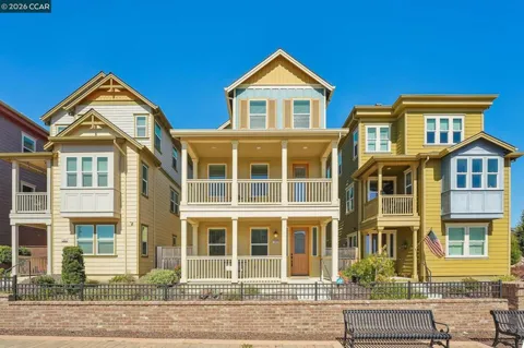
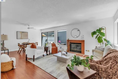
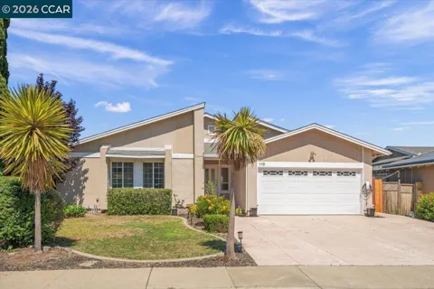
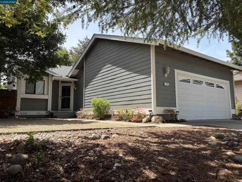
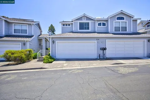
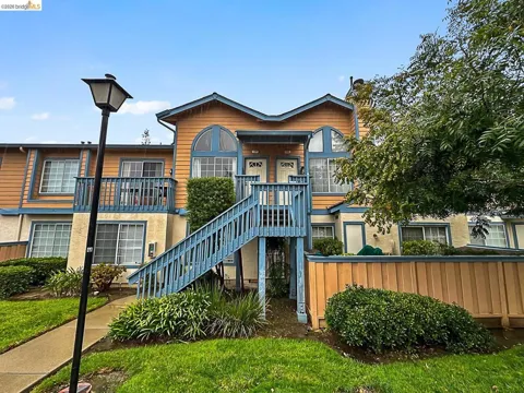
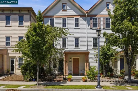
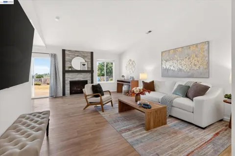
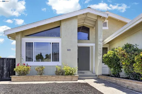
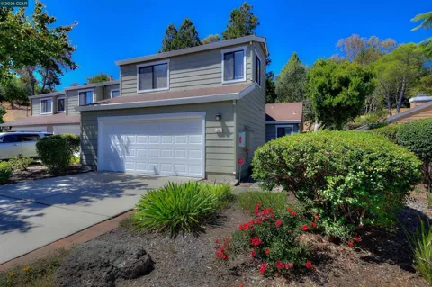
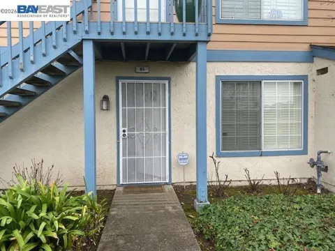
Townhouses & Duplexes in Hercules, CA
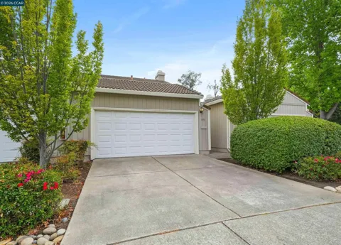
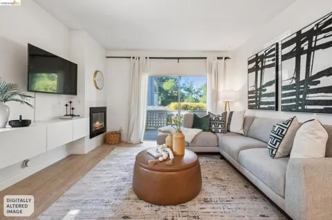
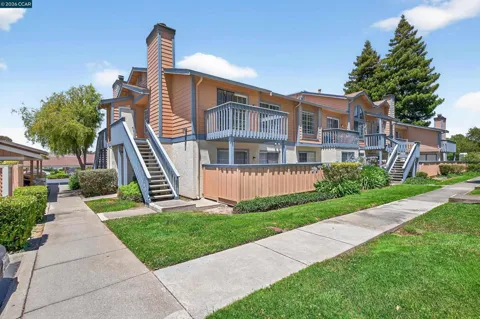
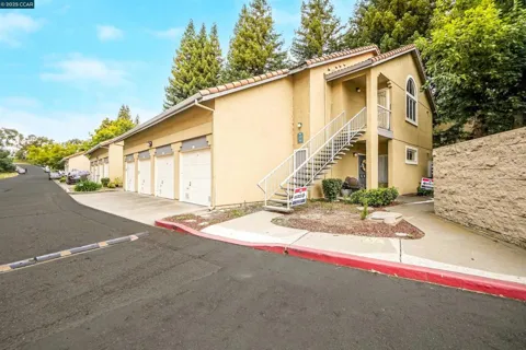
Condos & Apartments in Hercules, CA
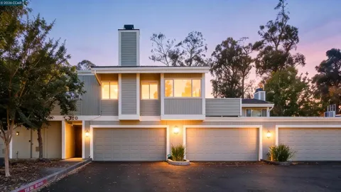
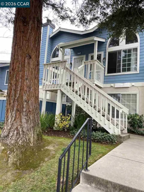
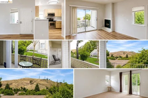
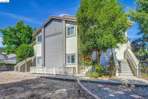
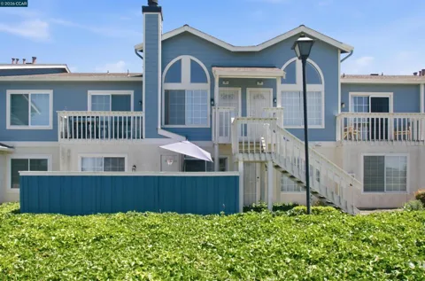
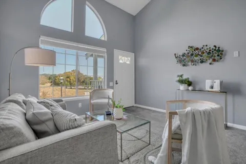
For Rent in Hercules, CA

MARKET SNAPSHOT
The Market at a Glance
How homes have been selling here over the last 90 days.
Price & Sales History
Market data reflects closed sales over the last 90 days and is provided for informational purposes.
Zip Codes
BROWSE BY ZIP
Browse listings by postal code in this area.
City Guide
About Hercules
Real Estate & Housing
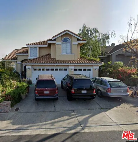
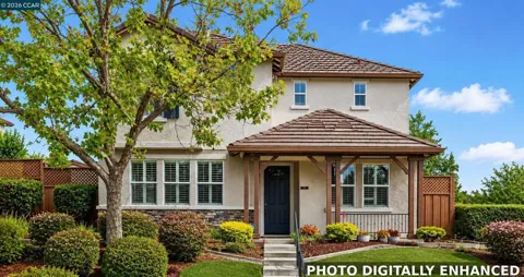
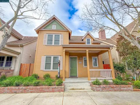
Hercules' housing stock is largely suburban single-family, shaped by its history as a company town that later expanded into planned residential development. The city includes older homes near its original industrial-era core, mid-century subdivisions, and a substantial stock of newer hillside and valley homes built as Hercules grew into a commuter community, along with a share of townhomes and attached housing near the transit center and commercial areas. Refugio Creek and the surrounding hills give many neighborhoods a green, topographic character. Most residents own their homes. The market character is that of a family-oriented East Bay suburb — established and newer single-family housing in a bayside setting, valued for its commute access and relative affordability within the region.
Neighborhoods
Hercules is bisected by Interstate 80, and its neighborhoods spread across the hills and the Refugio Creek valley on either side of the freeway. The bayside and western portions hold older streets near the city's historic industrial roots, while the hillside areas contain many of the newer residential subdivisions built during the city's growth as a commuter community. The Refugio Valley corridor, running through the center of town, anchors schools and community facilities, and the shoreline along San Pablo Bay forms the city's northern edge. Adjacent communities include Pinole, Rodeo, and the Carquinez Strait shoreline. This layout gives Hercules distinct zones — bayside, valley, and hillside — all unified by the I-80 spine and the bay setting.
Lifestyle in Hercules
Hercules offers a suburban Bay Area lifestyle on the San Pablo Bay shoreline. The city is quiet and residential at its core, with hillside neighborhoods, creek-side open space, and bay views, while remaining firmly tied to the region through Interstate 80. Its diverse population of about 26,000 enjoys a small-town civic identity — a relic of its company-town origins — alongside easy access to the larger cities around it. Commuters reach Berkeley, Oakland, and San Francisco by freeway, bus, and rail, while Napa and the Wine Country lie across the nearby Carquinez Bridge. It is a lifestyle for people who want a bayside, family-oriented community with regional connectivity rather than the density and bustle of the inner Bay Area.
Schools & Education
Hercules is served by the West Contra Costa Unified School District, a large district headquartered in Richmond that covers much of western Contra Costa County. Within Hercules, students attend schools including Hanna Ranch Elementary and Hercules Middle/High School, keeping local students in neighborhood schools from elementary through high school. The district's scale gives families access to a broad range of programs, specialized academies, and extracurricular options across the region. For families considering Hercules, the relevant educational landscape is the West Contra Costa system as a whole, with the added benefit of strong regional connectivity to the wider Bay Area's educational and professional opportunities.
Getting Around
Hercules is defined by its position on the Interstate 80 corridor, with State Highway 4 also serving the city. I-80 links Hercules to Richmond, Berkeley, Oakland, and San Francisco to the south and west, and to Vallejo, Sacramento, and the north beyond the Carquinez Bridge, which is about four miles away. The Hercules Transit Center provides regional bus connections and access to Capitol Corridor rail, giving commuters a transit alternative to the freeway. This connectivity makes Hercules a practical base for workers bound for the inner East Bay, San Francisco, or the Sacramento corridor, while the city itself remains a quiet, bayside residential community.
Parks & Recreation
Recreation in Hercules draws on its San Pablo Bay shoreline and its creekside and hillside open spaces. Refugio Creek and the surrounding valleys provide walking corridors and neighborhood green space, while the bay shoreline offers views and waterfront access. The nearby Carquinez Strait and the regional parklands of western Contra Costa County — including the Crockett Hills and the bay's edge — extend the outdoor options, with hiking, cycling, and fishing close at hand. The city's community facilities and the larger park systems of the East Bay are all within easy reach, and the Wine Country lies just across the bridge. For residents, recreation is a mix of local shoreline and hillside open space and quick access to the broader Bay Area's parks and trails.
About Hercules
Frequently asked questions
What county is Hercules in?
Hercules is in western Contra Costa County, California, on the southeastern shore of San Pablo Bay in the eastern San Francisco Bay Area. It sits about 12 miles north of Berkeley, 18 miles north of Oakland, and 22 miles northeast of San Francisco.
How did Hercules get its name?
Hercules takes its name from the Hercules Powder Company. The city began as a dynamite manufacturing site — the California Powder Works bought the land in 1879, and the works later produced dynamite and TNT — and the company town incorporated as Hercules in 1900.
What school district serves Hercules?
Hercules is served by the West Contra Costa Unified School District, a large district based in Richmond. Schools in the city include Hanna Ranch Elementary and Hercules Middle/High School, keeping local students within the district's network of schools across western Contra Costa County.
What is the commute like from Hercules?
Hercules sits along the Interstate 80 corridor and State Highway 4, about four miles from the Carquinez Bridge, which links to Vallejo and points north. The Hercules Transit Center connects commuters to regional bus and rail service, with Berkeley, Oakland, and San Francisco within a moderate commute.
Still have questions about Hercules?
Get in touchExplore the area
