East Bay Hillside City
Listings in El Cerrito, CA
Welcome to El Cerrito, a Contra Costa County hillside city between Berkeley and Richmond, served by two BART stations and framed by San Francisco Bay views.
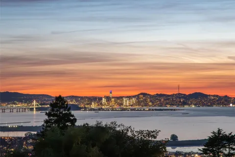
El Cerrito is a city in Contra Costa County, California, occupying a hillside setting in the East Bay between Berkeley and Richmond. Its name, Spanish for "the little hill," reflects the terrain that rises east from the flatlands along San Pablo Avenue and Interstate 80 toward the Berkeley Hills. The city was founded in the years after the 1906 San Francisco earthquake, when refugees relocated across the bay, and it was renamed El Cerrito in 1917. The 2020 census recorded a population of about 26,000, and the city functions as both a suburban residential community and a transit-oriented one. Two BART stations — El Cerrito Plaza in the south and El Cerrito del Norte in the north — provide direct rail service into San Francisco, Oakland, and the wider Bay Area system, while AC Transit buses and other regional carriers connect at del Norte, which serves as a hub for western Contra Costa County. This access makes El Cerrito an unusual hillside city where commuting by rail is genuinely practical. El Cerrito's identity also rests on its residential architecture. The hills above San Pablo Avenue are known for mid-century modern and ranch-style homes, many designed to capture views of the bay and the Golden Gate, while the flatlands hold older bungalows and, near the stations, condominiums and apartments. The Hillside Natural Area preserves open space and trails across the city's upper elevations, offering wildflower displays and expansive views. The city is part of the West Contra Costa Unified School District, which also serves neighboring Richmond, San Pablo, Pinole, Hercules, and Kensington, with El Cerrito High School located within the city. El Cerrito suits a range of residents — Bay Area commuters, families drawn to the schools, and those seeking mid-century homes with views — all within a compact, walkable-to-transit footprint at the heart of the East Bay.
Get more information about El Cerrito
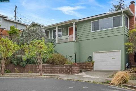
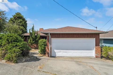
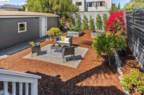
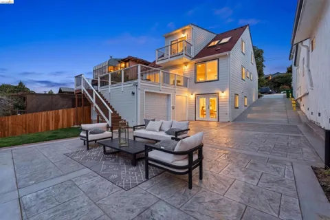
Houses in El Cerrito, CA
Townhouses & Duplexes in El Cerrito, CA
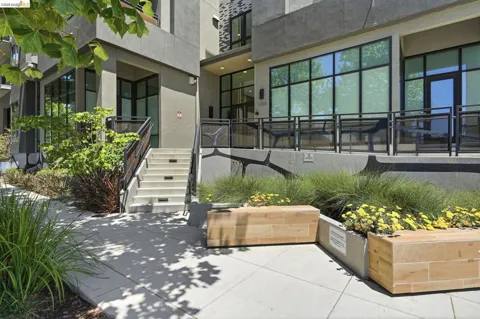
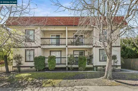
Condos & Apartments in El Cerrito, CA
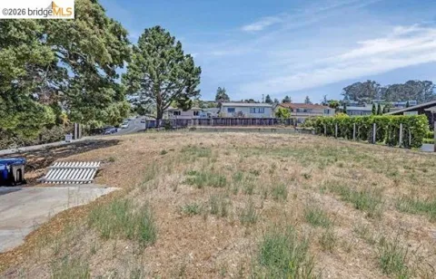
Lots & Land in El Cerrito, CA

MARKET SNAPSHOT
The Market at a Glance
How homes have been selling here over the last 90 days.
Price & Sales History
Market data reflects closed sales over the last 90 days and is provided for informational purposes.
Zip Codes
BROWSE BY ZIP
Browse listings by postal code in this area.
City Guide
About El Cerrito
Real Estate & Housing
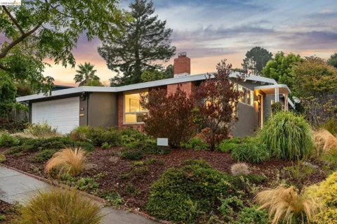
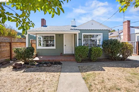
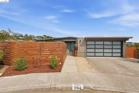
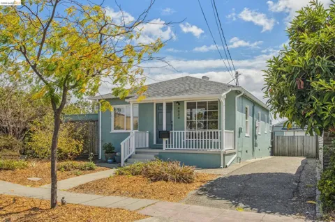
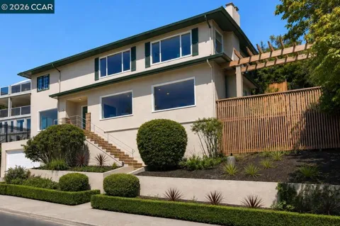
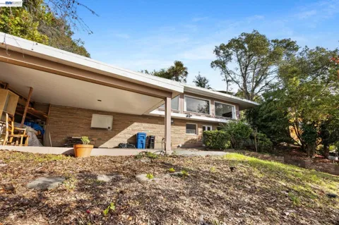
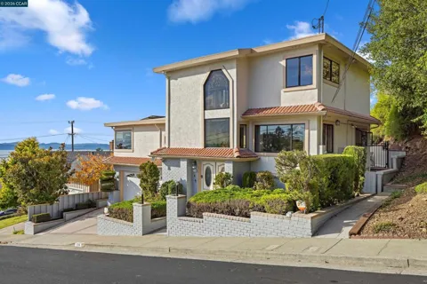
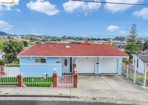
El Cerrito's housing stock is defined by its topography and its mid-century modern heritage. The city's hills are known for ranch-style and mid-century modern homes, including glass-walled designs oriented toward San Francisco Bay views, while the flatlands hold older bungalows and a wider mix of styles. Transit-adjacent areas near the two BART stations include condominium communities and apartments that add density and entry-level options. The historical society identifies the mid-century modern architecture of the 1940s through 1960s as the city's strongest architectural claim, though homes from many eras are represented across the hillside and valley neighborhoods.
Neighborhoods
El Cerrito is broadly divided between its western flatlands, which run along San Pablo Avenue and Interstate 80, and its eastern hills, which climb toward the ridge and offer Bay views. The El Cerrito Plaza area anchors the southern part of the city around its BART station and shopping center, while the del Norte area in the north serves as a regional transit hub on Cutting Boulevard. The hillside streets above San Pablo Avenue contain some of the city's most distinctive mid-century and ranch-style homes, and the Hillside Natural Area defines the upper reaches. Kensington borders the city to the east, and Richmond lies to the north and west.
Lifestyle in El Cerrito
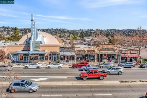
El Cerrito combines East Bay hillside living with uncommon transit convenience. The flatlands along San Pablo Avenue and the El Cerrito Plaza area host a mix of shops, restaurants, and services, while the hills above offer quiet streets and sweeping views. The city's two BART stations make a car-free commute to San Francisco and Oakland practical, a rarity among hillside communities. El Cerrito's dining and retail reflect the diversity of the broader East Bay, and its small-city government supports a connected civic life. It appeals to commuters, families, and residents who want Bay views without giving up urban access.
Schools & Education
El Cerrito is part of the West Contra Costa Unified School District, a large district serving more than 30,000 students across El Cerrito, Richmond, San Pablo, Pinole, Hercules, Kensington, El Sobrante, and North Richmond. El Cerrito High School, located on Ashbury Avenue, is the city's comprehensive public high school and also serves portions of eastern Richmond. Elementary and middle schools within the district serve the city's neighborhoods. The district's size and regional scope mean families weigh individual campus assignments closely, and El Cerrito's location within WCCUSD is a central fact of the local education landscape.
Getting Around
El Cerrito is one of the East Bay's most transit-connected cities. It has two BART stations — El Cerrito Plaza in the south and El Cerrito del Norte in the north, on Cutting Boulevard near San Pablo Avenue and Interstate 80 — both on the Orange and Red lines with direct service to San Francisco and Oakland. Del Norte functions as a regional hub, connecting AC Transit, Golden Gate Transit, WestCAT, and other commuter services. Interstate 80 runs along the city's western edge, and San Pablo Avenue serves as the primary surface corridor. This layered network makes rail commuting and bus travel realistic alternatives to driving for many residents.
Parks & Recreation
The Hillside Natural Area is El Cerrito's signature open space, an undeveloped stretch of the city's upper hills with trails, wildflowers, and sweeping San Francisco Bay views, accessible from Schmidt Lane, Potrero Avenue, and King Court. The Memorial Grove entrance near the city's Recycling and Environmental Resource Center offers another access point. Smaller neighborhood parks such as Huber Park provide playgrounds, picnic areas, and open lawns for casual recreation. The city's hillside streets and trail system invite walking and hiking, while nearby regional parks and the bay shoreline expand the range of outdoor options available within a short drive.
About El Cerrito
Frequently asked questions
What county is El Cerrito in?
El Cerrito is located in Contra Costa County, California, in the East Bay portion of the San Francisco Bay Area. It sits between Berkeley to the south and Richmond to the north, with Interstate 80 and San Pablo Avenue running along its western edge.
Does El Cerrito have BART stations?
Yes. El Cerrito has two BART stations: El Cerrito Plaza in the southern part of the city and El Cerrito del Norte in the north, on Cutting Boulevard near San Pablo Avenue and Interstate 80. Both provide direct rail service to San Francisco, Oakland, and the broader Bay Area.
What school district serves El Cerrito?
El Cerrito is served by the West Contra Costa Unified School District, which also serves Hercules, Pinole, San Pablo, Richmond, Kensington, El Sobrante, and North Richmond. El Cerrito High School is located on Ashbury Avenue in the city.
What is El Cerrito known for?
El Cerrito is known for its hillside setting, its mid-century modern and ranch-style residential architecture, and its founding by refugees from the 1906 San Francisco earthquake. Its two BART stations and the Hillside Natural Area with San Francisco Bay views are also defining features.
How far is El Cerrito from San Francisco?
El Cerrito lies roughly fifteen miles north of San Francisco across the bay. BART provides a direct rail connection into downtown San Francisco and Oakland, making it a practical base for commuters who work in the region's core employment centers.
Still have questions about El Cerrito?
Get in touchExplore the area
