
Foothill Village in the San Gabriels
Listings in Sierra Madre, CA
Welcome to Sierra Madre, a small city in the San Gabriel Valley at the foot of the San Gabriel Mountains, where the historic Mount Wilson Trail begins its climb into the Angeles National Forest.
Sierra Madre is a small city in Los Angeles County, tucked into the foothills of the San Gabriel Mountains on the eastern side of the San Gabriel Valley, immediately east of Pasadena. Incorporated in 1907, it has retained a compact, village-like scale even as the surrounding valley grew into one of the most populous regions in the United States. The city covers roughly three square miles, and its roughly 11,000 residents live within a short distance of a traditional downtown centered on Sierra Madre Boulevard and Baldwin Avenue. The area was settled in the late nineteenth century, when citrus ranching and, later, residential development drew families from Pasadena and Los Angeles to the cooler air at the base of the mountains. The Mount Wilson Trail, one of the oldest maintained routes in the San Gabriel range, begins in the city and climbs about six miles toward the Mount Wilson Observatory area, drawing hikers from across the region. That foothill location keeps residents within easy reach of Pasadena, the wider Los Angeles economy, and the San Gabriel Mountains' trail network, while the city itself holds onto a distinctly small-town character. The housing stock is dominated by early twentieth-century bungalows, cottages, and Spanish Revival homes on quiet, tree-shaded streets, and the downtown village of independent restaurants and shops gives the community a town-center feel uncommon in the Los Angeles basin. Public schools belong to the Pasadena Unified School District, with an elementary and a middle school located within the city. The nearby Metro A Line and the Foothill (I-210) Freeway connect Sierra Madre to Pasadena, downtown Los Angeles, and the rest of the region. Sierra Madre's appeal lies in this combination: a quiet, walkable foothill town with genuine mountain access and a strong local identity, set within a short commute of one of the nation's largest metropolitan economies. It attracts families, longtime residents, and outdoor enthusiasts who value the slower pace and the immediate proximity of the Angeles National Forest.
Get more information about Sierra Madre
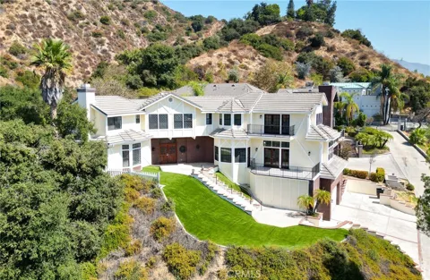
Houses in Sierra Madre, CA

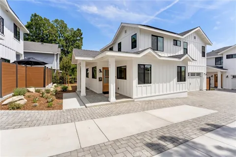
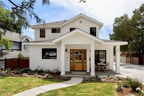
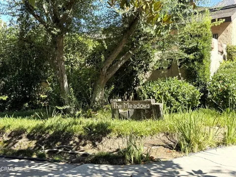
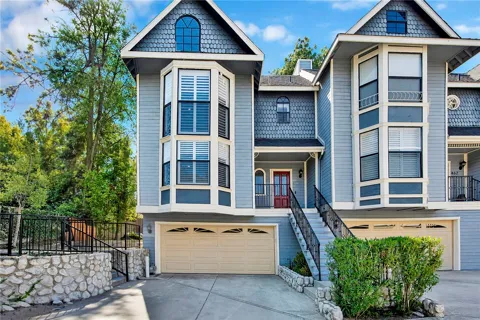
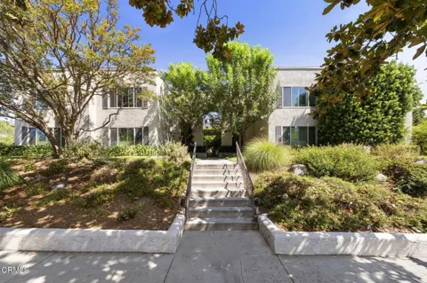
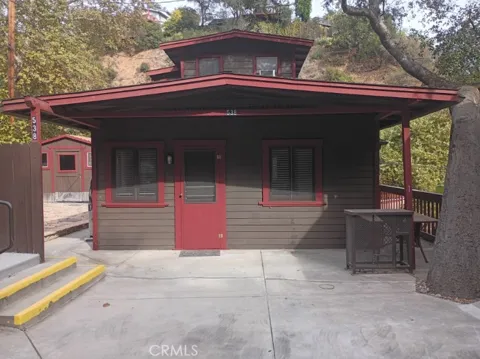
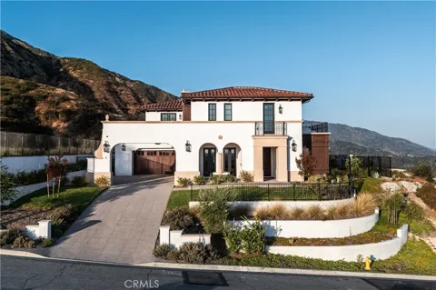
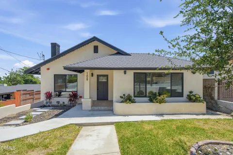
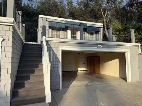
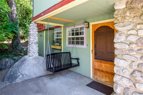
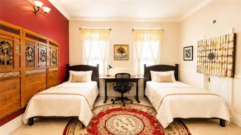
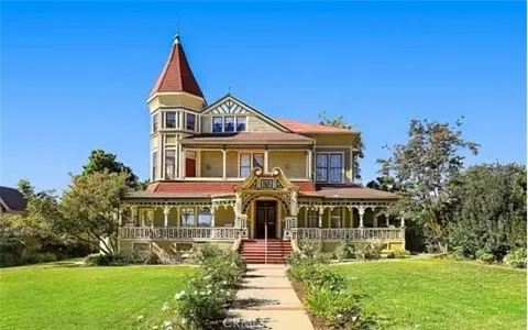
Townhouses & Duplexes in Sierra Madre, CA
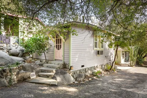
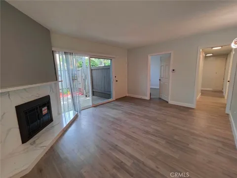
Condos & Apartments in Sierra Madre, CA
For Rent in Sierra Madre, CA
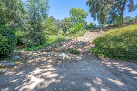
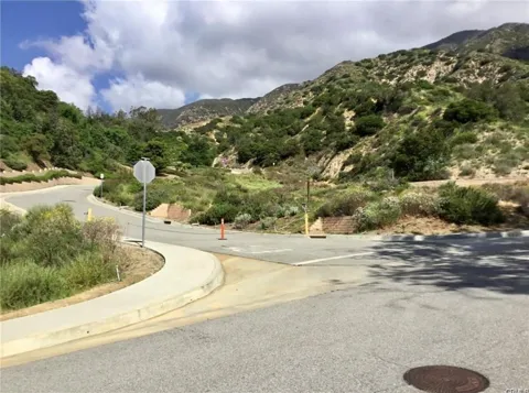
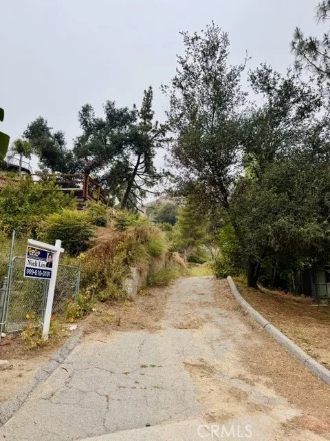
Lots & Land in Sierra Madre, CA
MARKET SNAPSHOT
The Market at a Glance
How homes have been selling here over the last 90 days.
Price & Sales History
Market data reflects closed sales over the last 90 days and is provided for informational purposes.
Zip Codes
BROWSE BY ZIP
Browse listings by postal code in this area.
City Guide
About Sierra Madre
Real Estate & Housing
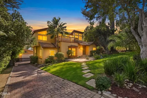
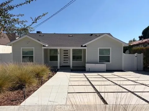
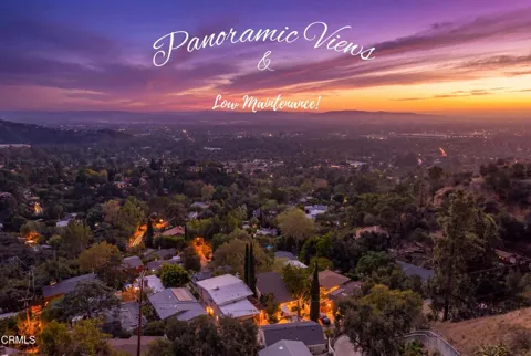
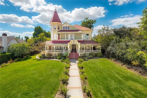
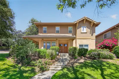
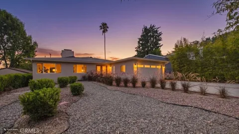
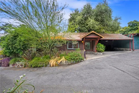
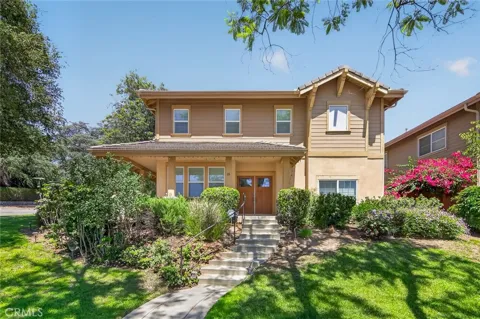
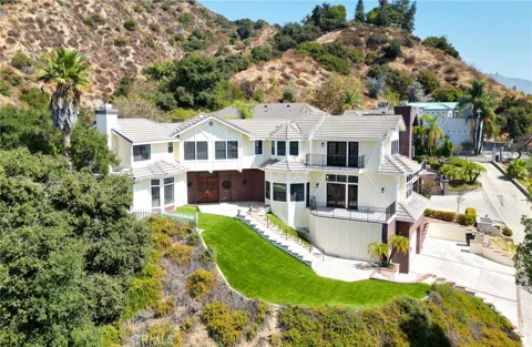
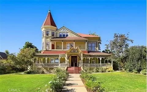
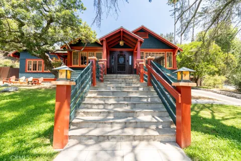
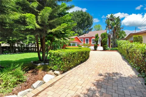
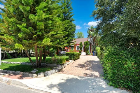
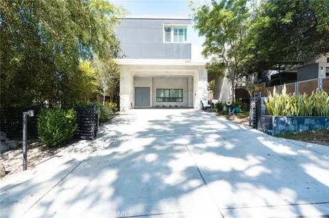
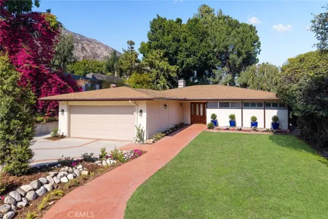
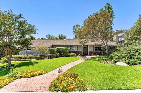
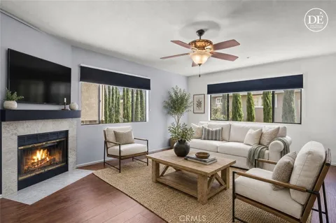
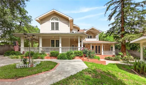
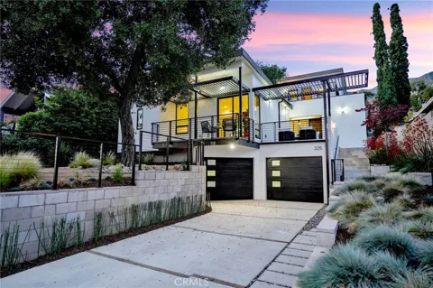
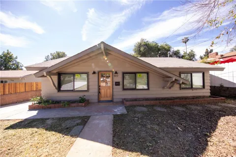
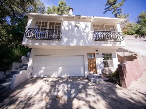
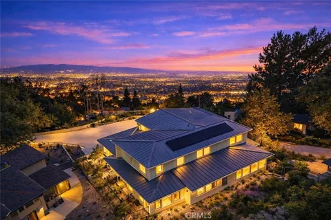
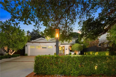
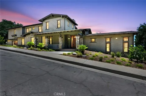
Sierra Madre's housing stock is dominated by older, single-family homes, many built in the early twentieth century. Craftsman bungalows, Spanish Revival homes, and modest hillside cottages line quiet, tree-shaded streets, and the city has preserved much of its historic residential fabric. New construction is limited by the city's small footprint and foothill terrain, so the market is shaped largely by turnover of existing homes rather than by large developments. Properties range from compact cottages near the commercial core to larger hillside houses with mountain views. The result is a housing landscape that feels established and distinctive rather than uniformly suburban.
Neighborhoods
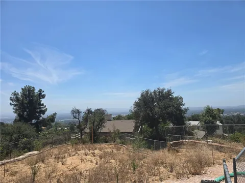
Sierra Madre is small enough to function largely as a single community, but distinct pockets give it texture. The flat, central area around Sierra Madre Boulevard and Baldwin Avenue is the commercial and civic heart, with the downtown village and older homes on gridded streets. Toward the north, neighborhoods climb into the foothills, where homes sit on sloping lots with views of the mountains and the valley below. Bailey Canyon and the area near the Mount Wilson Trailhead mark the transition into open space and national forest. The city's modest size means most residents are within walking or biking distance of downtown and the trailheads.
Lifestyle in Sierra Madre
Life in Sierra Madre centers on a compact downtown village of independent restaurants, cafes, and small shops along Sierra Madre Boulevard and Baldwin Avenue, which gives the city a town-center feel uncommon in the Los Angeles basin. The community is known for its small-town atmosphere, local events, and an active outdoors culture tied to the adjacent mountains. Residents also benefit from the proximity of Pasadena, a short drive away, for additional dining, shopping, and cultural institutions. The pace is noticeably quieter than the surrounding valley, appealing to families and longtime residents who value walkability and a close-knit civic life.
Schools & Education
Sierra Madre is served by the Pasadena Unified School District. Sierra Madre Elementary School and Sierra Madre Middle School are located within the city, and students continue on to Pasadena Unified's high schools and other programs in the district. The local schools are generally well regarded, and the district's boundaries connect Sierra Madre families to educational resources across Pasadena and Altadena. Several private and parochial options are also available in the surrounding San Gabriel Valley communities.
Getting Around
Sierra Madre sits just east of Pasadena, with convenient access to the Foothill (I-210) Freeway and the wider freeway network of the San Gabriel Valley. The Metro A Line (formerly the Gold Line) stops at the nearby Sierra Madre Villa station in Pasadena, providing light-rail connections toward Pasadena and downtown Los Angeles. Within the city, the compact grid and pedestrian-friendly downtown make walking a practical option for many errands, while Baldwin Avenue and Sierra Madre Boulevard carry local traffic north and south and east and west.
Parks & Recreation
The city's signature outdoor asset is the Mount Wilson Trail, a steep, historic route that begins in Sierra Madre and climbs roughly six miles into the Angeles National Forest toward Mount Wilson. Bailey Canyon Wilderness Park offers additional foothill trails and views, and the broader San Gabriel Mountains provide extensive hiking and mountain biking. Residents are also close to the recreational amenities of the Arroyo Seco and Pasadena's park system. The mountains directly above town make open space a defining feature of daily life rather than a distant day trip.
About Sierra Madre
Frequently asked questions
What county is Sierra Madre in?
Sierra Madre is located in Los Angeles County, California. It lies in the San Gabriel Valley at the base of the San Gabriel Mountains, immediately east of Pasadena and in the northeast corner of the Los Angeles metropolitan area.
What school district serves Sierra Madre?
Sierra Madre is served by the Pasadena Unified School District. Sierra Madre Elementary School and Sierra Madre Middle School are located within the city, and students continue to Pasadena Unified high schools and other district programs.
How far is Sierra Madre from Pasadena and downtown Los Angeles?
Sierra Madre directly borders Pasadena to the east. Downtown Los Angeles is roughly fifteen miles to the southwest, reachable via the Foothill (I-210) Freeway or the Metro A Line from the nearby Sierra Madre Villa station.
What is Sierra Madre known for?
Sierra Madre is known for its small-town foothill setting, its walkable downtown village along Sierra Madre Boulevard, and the Mount Wilson Trail, one of the oldest maintained trails in the San Gabriel Mountains, which begins in the city.
Does Sierra Madre have hiking trails?
Yes. The Mount Wilson Trail begins in Sierra Madre and climbs into the Angeles National Forest toward Mount Wilson, and Bailey Canyon Wilderness Park offers additional foothill trails. The wider San Gabriel Mountains provide extensive hiking and mountain biking nearby.
Still have questions about Sierra Madre?
Get in touchExplore the area
