Master-Planned Valley in LA County
Listings in Santa Clarita, CA
Welcome to Santa Clarita, a master-planned Santa Clarita Valley city in northwestern Los Angeles County, framed by the Angeles National Forest and anchored by the Six Flags Magic Mountain resort.
Santa Clarita is a city in northwestern Los Angeles County, California, occupying the broad Santa Clarita Valley where Interstate 5 and State Route 14 meet, roughly 35 miles from downtown Los Angeles. It is one of the state's newer municipalities: in 1987, the unincorporated communities of Valencia, Newhall, Saugus, and Canyon Country merged to form the city, which today is the third-most populous in Los Angeles County with roughly 229,000 residents. The city's modern form grew out of the old Newhall Ranch, assembled in the 19th century by Henry Mayo Newhall. Valencia, in the valley's western half, became one of Southern California's best-known master-planned communities and remains a major employment and retail center. The area balances suburban neighborhoods with a significant local economy in film and television production, aerospace, and logistics, and it draws visitors year-round to the Six Flags Magic Mountain and Hurricane Harbor resort. Public education is organized through several school districts, most notably the William S. Hart Union High School District for secondary grades, alongside the Newhall, Saugus Union, Sulphur Springs, and Castaic Union elementary districts, and the city is home to College of the Canyons. Metrolink's Antelope Valley Line stops at three Santa Clarita stations, giving residents a rail commute of under an hour to Los Angeles Union Station, while Interstate 5 connects the valley directly to the San Fernando Valley and, northward, to the Grapevine. Santa Clarita tends to attract families, professionals, and commuters who want newer housing, well-regarded public schools, and open-space recreation while staying within reach of Los Angeles employment centers. The Angeles National Forest and a network of paseos, parks, and trails give the city a foothill character distinct from the denser Los Angeles basin to the south.
Get more information about Santa Clarita
Houses in Santa Clarita, CA
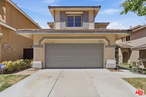
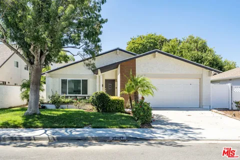
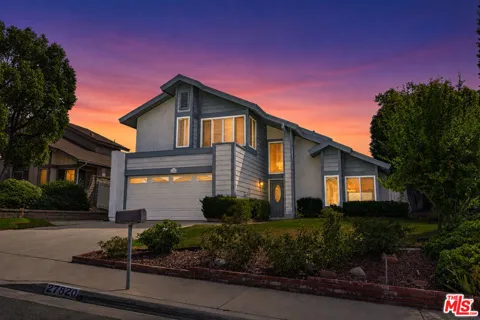
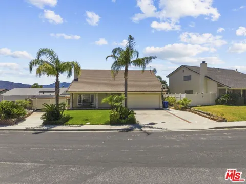
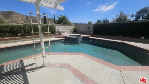
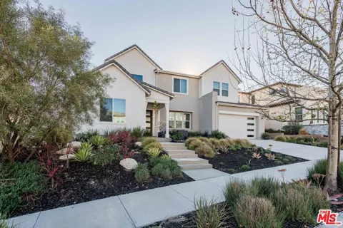
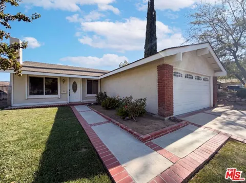
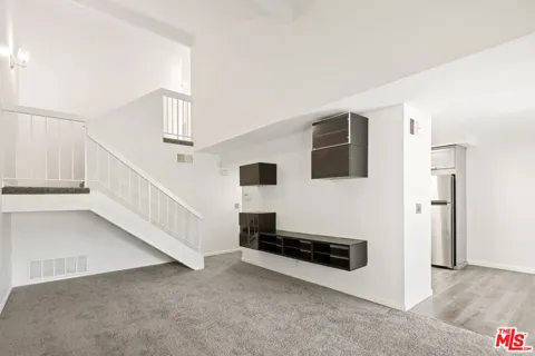
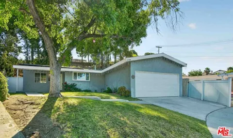
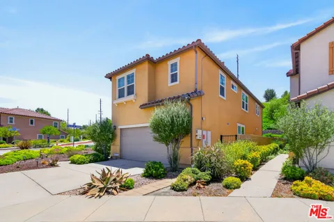
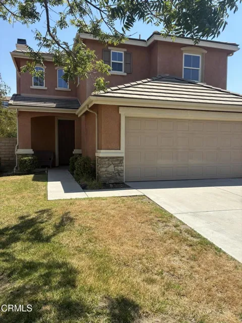
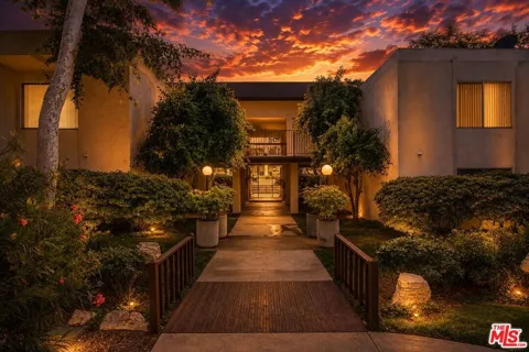
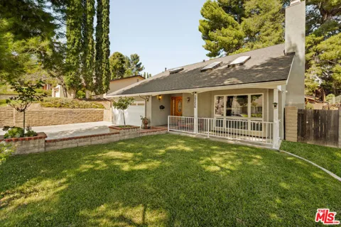
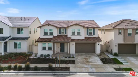
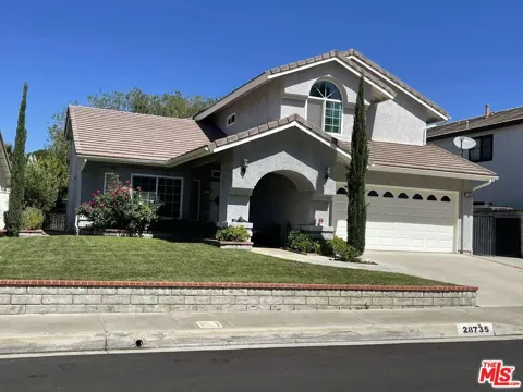
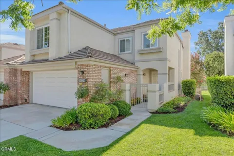
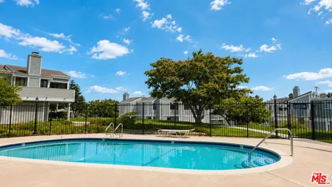
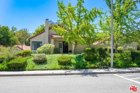
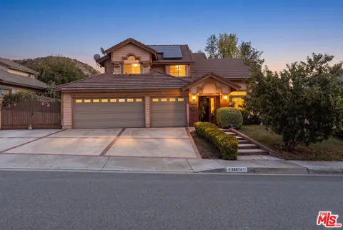
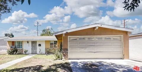
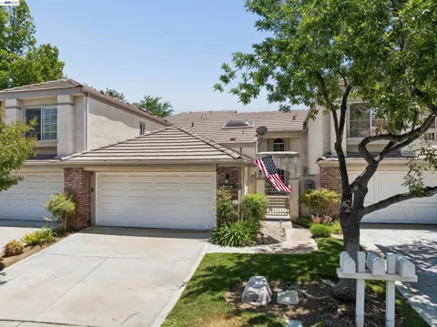
Townhouses & Duplexes in Santa Clarita, CA
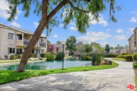
Condos & Apartments in Santa Clarita, CA
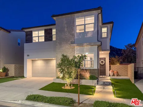
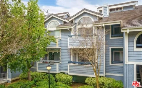
For Rent in Santa Clarita, CA
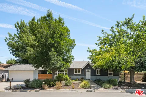
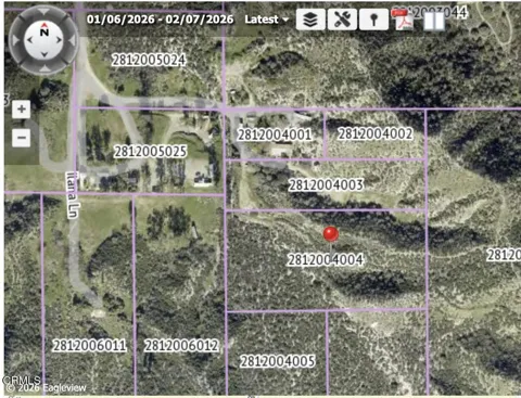
Lots & Land in Santa Clarita, CA
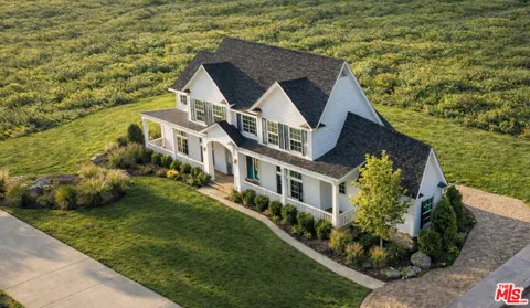
MARKET SNAPSHOT
The Market at a Glance
How homes have been selling here over the last 90 days.
Price & Sales History
Market data reflects closed sales over the last 90 days and is provided for informational purposes.
Zip Codes
BROWSE BY ZIP
Browse listings by postal code in this area.
City Guide
About Santa Clarita
Real Estate & Housing
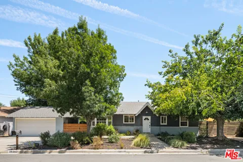
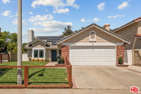
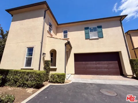
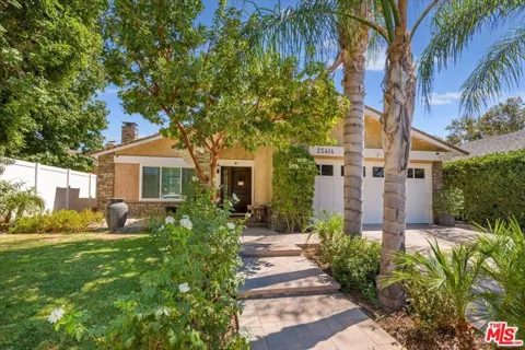
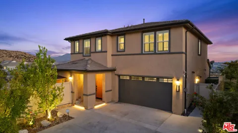
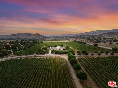
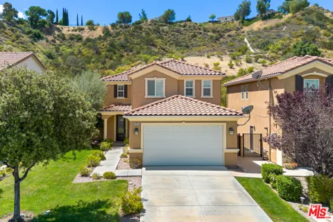
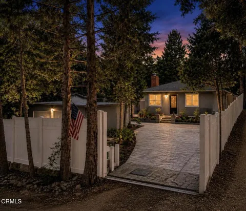
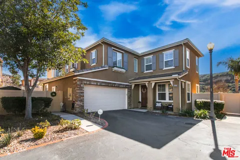
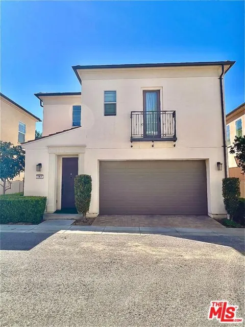
Santa Clarita's housing stock is unusually varied for a single city because it grew from four distinct communities. Valencia offers the most extensive master-planned inventory, from early traditional single-family neighborhoods to newer planned enclaves with community pools and tennis courts. Canyon Country and Saugus mix older ranch-style and traditional single-family homes with newer subdivisions, while Newhall, the valley's oldest district, retains an older, more established character with mature landscaping. Condominiums and townhomes are concentrated near commercial centers and the Metrolink stations, and larger estate and ranch properties can be found toward the valley's edges and the foothills. The overall character is suburban and car-oriented, with newer construction predominating and many neighborhoods built around parks, schools, and paseo trails.
Neighborhoods
Four historic communities anchor Santa Clarita. Valencia is the signature master-planned district on the city's west side, organized around the Valencia Town Center, paseo trails, and the Six Flags Magic Mountain resort. Newhall, the oldest neighborhood, centers on Old Town Newhall, a walkable downtown of restaurants, galleries, and events along Main Street. Canyon Country occupies the eastern valley and abuts the Angeles National Forest, offering mountain views and access to Placerita Canyon Nature Center and Canyon Country Park. Saugus, in the northeast, blends older neighborhoods with newer subdivisions near Central Park and the William S. Hart Museum. Each area maintains its own schools, shopping, and identity while sharing the city's overall foothill-suburban character.
Lifestyle in Santa Clarita
Santa Clarita offers a family-oriented, outdoor-leaning lifestyle. Old Town Newhall anchors the cultural scene with its dining, arts events, and seasonal street festivals, while the Valencia Town Center and surrounding retail districts provide regional shopping and entertainment. Six Flags Magic Mountain and its Hurricane Harbor water park make the city a regional destination for thrill-seekers and day-trippers. Weekends gravitate toward the valley's open spaces — the paseo system connects neighborhoods to parks, and the Angeles National Forest sits at the city's doorstep. The community identity is heavily suburban and recreation-focused, with youth sports, equestrian areas in the outlying foothills, and an active calendar of civic events contributing to a strong neighborhood-oriented feel.
Schools & Education
Public schooling in Santa Clarita is divided among several districts. Secondary students attend the William S. Hart Union High School District, one of the region's larger and higher-regarded high school districts, while elementary and middle grades are served by the Newhall, Saugus Union, Sulphur Springs, Castaic Union, and Acton-Agua Dulce districts. The city also hosts College of the Canyons, a large community college with campuses in Valencia and Canyon Country, along with numerous private and charter options. Schools are a major draw for relocating families, with the valley's districts consistently ranking among the stronger performers in Los Angeles County and many neighborhoods built directly around neighborhood schools.
Getting Around
Santa Clarita sits at the junction of Interstate 5 and State Route 14, placing it about 35 miles from downtown Los Angeles and roughly 25 miles from Hollywood Burbank Airport. Metrolink's Antelope Valley Line serves three stations in the city — Newhall, Santa Clarita, and Via Princessa — with service to Los Angeles Union Station in under an hour, making rail commuting a practical option for many residents. City of Santa Clarita Transit provides local and commuter bus routes throughout the valley's roughly 200 square miles and connects to the Metrolink stations. The city's layout is automobile-oriented, with most neighborhoods designed around freeway access and arterial boulevards rather than a dense street grid.
Parks & Recreation
Recreation is central to Santa Clarita's identity. Six Flags Magic Mountain and Hurricane Harbor anchor the tourism side of the outdoors, while the Angeles National Forest and Placerita Canyon Nature Center provide hiking, wildlife viewing, and interpretive trails on the valley's edge. Central Park, Canyon Country Park, and a long system of interconnected paseos offer neighborhood-level green space, playgrounds, and multi-use paths for walking and cycling. The William S. Hart Museum and Ranch preserves the area's early ranching history, and the Santa Clara River and its tributaries run through the valley. Nearby Castaic Lake to the northwest extends the outdoor options with boating and shoreline recreation.
About Santa Clarita
Frequently asked questions
What county is Santa Clarita in?
Santa Clarita is in northwestern Los Angeles County, California. It sits roughly 35 miles north of downtown Los Angeles, at the point where Interstate 5 and State Route 14 meet on the southern edge of the Santa Clarita Valley. The city is the third-most populous in Los Angeles County, behind only the City of Los Angeles and Long Beach.
What communities make up Santa Clarita?
Santa Clarita was incorporated in 1987 from the merger of four previously unincorporated communities: Valencia, Newhall, Saugus, and Canyon Country. Each retains a distinct character, with Valencia as the master-planned core, Newhall as the oldest district centered on Old Town Newhall, and Canyon Country and Saugus occupying the eastern and northeastern valley.
What school districts serve Santa Clarita?
Secondary students attend the William S. Hart Union High School District, one of the region's larger high school districts. Elementary and middle grades are served by several districts, including Newhall, Saugus Union, Sulphur Springs, Castaic Union, and Acton-Agua Dulce. The city is also home to College of the Canyons, a large community college with campuses in Valencia and Canyon Country.
How far is Santa Clarita from downtown Los Angeles?
Santa Clarita is about 35 miles northwest of downtown Los Angeles via Interstate 5. Metrolink's Antelope Valley Line connects three Santa Clarita stations to Los Angeles Union Station in under an hour, making rail commuting a practical option. Hollywood Burbank Airport is roughly 25 miles to the south.
Is Six Flags Magic Mountain in Santa Clarita?
Yes. Six Flags Magic Mountain and its Hurricane Harbor water park are located in the Valencia area of Santa Clarita, west of Interstate 5. The resort makes the city a major Southern California amusement destination, drawing visitors year-round with its roller coasters and water attractions.
Still have questions about Santa Clarita?
Get in touchExplore the area
